- Overview
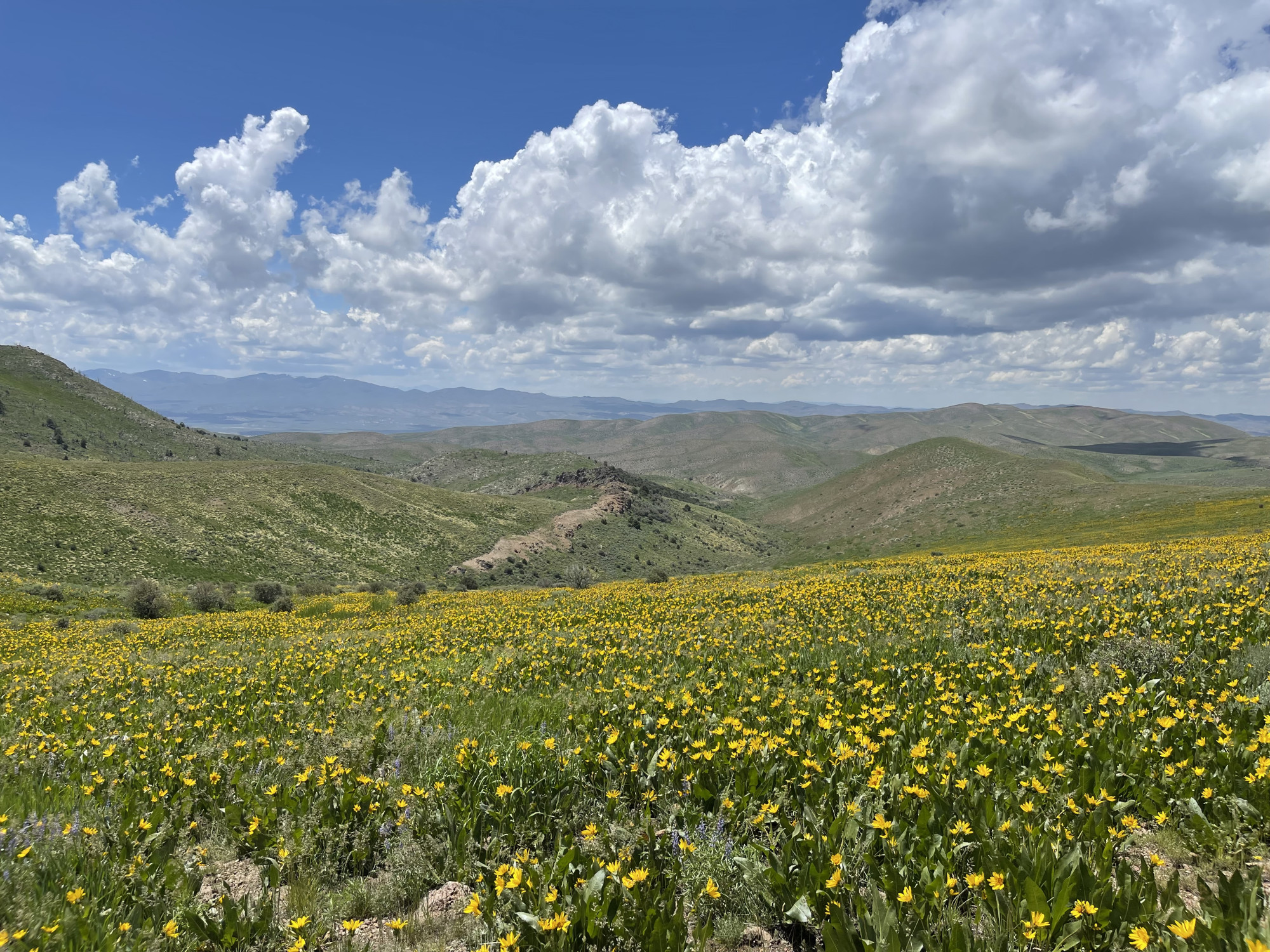
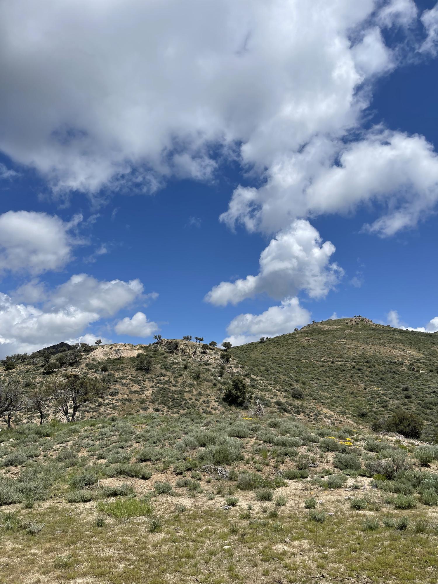
- Location
- Geology
- Drilling
- Resources
- Photos
- Maps
Pony Creek is strategically located immediately south of Gold Standard’s Railroad-Pinion Project and totals 43.8 km2 underpinned by a Carlin-type gold system hosting an initial inferred, pit-constrained gold resource totalling 433,000 ounces of gold at an average grade of 0.52 g/t Au. It is a target rich environment underlain by well known, and newly recognized key regional gold host units including the Webb, Devil’s Gate, and the Dark Star Pennsylvania-Permian sedimentary units.
Pony Creek contains large areas of prospective rocks that have seen little direct exploration with either sampling or drilling in the world-class Carlin Trend of Nevada.
Contact Gold acquired Pony Creek in 2016 following the encouraging early exploration results of Gold Standard Ventures at the adjacent South Railroad property, the history of mining activities in the region by Newmont and the considerable historical exploration at the property by various operators dating back to the early 1980s. At the time of acquisition 263 drill holes had been drilled on the property. Since then, Contact Gold has drilled 118 holes totaling 25,874 metres on the property and discovered and defined 5 zones of gold mineralization at shallow depths. The Pony Creek Mineral Resource Estimate (“MRE”) pertains to the Bowl, Appaloosa, and Stallion zones, with the Bowl deposit containing approximately 79% of total inferred resources. The mineralization is principally hosted within altered and silicified calcareous clastic rocks of the Penn-Perm Moleen Formation and at the Bowl Zone within a Tertiary (or Jurassic) rhyolite
Summary Table
Area:
43.8 km2
Stage:
Advanced Exploration / Resource Definition
Royalty:
3% NSR
Minerals:
Gold
Deposit Type:
Carlin
Drill Holes:
373
Resource:
433,000 inferred pit constrained ounces at an average grade of 0.52 g/t Au
Pony Creek is located within the Pinion Range in Nevada on southern portion of the Carlin Trend. It is approximately 25 km from Elko Nevada. Located to the south of Nevada Gold Mines Rain and Emigrant Mines, and borders Gold Standard Ventures’ Railroad Pinion Project.

The geology of Pony Creek is typical of the southern Carlin Trend, characterised by middle to upper Devonian carbonate rocks through Permian calcareous-clastic sedimentary rocks. Significant gold resources identified to date in surface exposures and drilling are spatially associated with a 3.2-km-long and 1.2-km-wide Jurassic age, porphyritic rhyolite intrusive body, either within it or in the decalcified, silicified and altered Pennsylvanian-Permian sandstones and conglomerates immediately beneath and adjacent to it, as well as along trend to the north. Other minor mineralization has been found at the Devonian Webb shale and Devil’s Gate limestone contact. Mineralization is also localized along north-, northwest and northeast-striking structures, especially where these faults intersect.
Stallion Zone Drilling Results
| Drill Hole | From (m) | To (m) | Interval (m) | Au (g/t) |
| PC18-15 | 1.52 | 4.57 | 3.05 | 0.21 |
| PC18-16 | 230.13 | 233.18 | 3.05 | 0.26 |
| PC18-17 | 13.72 | 25.91 | 12.19 | 0.18 |
| 91.44 | 94.49 | 3.05 | 0.18 | |
| 106.68 | 111.25 | 4.57 | 0.34 | |
| PC18-18 | 4.57 | 38.10 | 33.53 | 0.42 |
| PC18-19 | 73.15 | 76.20 | 3.05 | 0.28 |
| PC18-20 | 169.17 | 185.93 | 16.76 | 0.19 |
| PC18-21 | 10.67 | 19.81 | 10.67 | 0.34 |
| PC18-22 | 19.81 | 30.48 | 10.67 | 0.71 |
| PC18-23 | 10.67 | 25.91 | 15.24 | 0.29 |
| 39.62 | 47.24 | 7.62 | 0.24 | |
| 64.01 | 96.01 | 32.00 | 0.22 | |
| PC18-24 | 1.52 | 18.29 | 16.76 | 0.28 |
| PC18-36 | 22.86 | 27.43 | 4.57 | 0.20 |
| PC18-37 | 10.67 | 15.24 | 4.57 | 0.16 |
| PC18-38 | 3.05 | 13.72 | 10.67 | 0.24 |
| 19.81 | 22.86 | 3.05 | 0.26 | |
| PC18-39 | ||||
| PC18-40 | 7.62 | 13.72 | 6.10 | 0.70 |
| 70.10 | 73.15 | 3.05 | 0.23 | |
| 92.97 | 96.00 | 3.05 | 0.14 | |
| PC18-41 | 27.43 | 36.58 | 9.14 | 0.28 |
| 47.42 | 54.86 | 7.62 | 0.17 | |
| 71.63 | 86.87 | 15.24 | 0.38 | |
| 94.49 | 97.54 | 3.05 | 0.37 | |
| 123.45 | 126.49 | 3.05 | 0.27 | |
| PC18-42 | 3.05 | 6.10 | 3.05 | 0.21 |
| PC18-43 | 9.14 | 18.29 | 9.14 | 0.35 |
| 51.82 | 56.39 | 4.57 | 0.19 | |
| 74.68 | 79.25 | 4.57 | 0.17 | |
| 86.87 | 89.92 | 3.05 | 0.20 | |
| 108.21 | 111.25 | 3.05 | 0.16 | |
| 118.87 | 121.92 | 3.05 | 0.24 | |
| PC18-44 | 228.60 | 231.65 | 3.05 | 0.18 |
| PC18-48 | 0.00 | 27.43 | 27.43 | 0.20 |
| PC18-49 | 1.52 | 41.15 | 39.62 | 0.31 |
| 51.82 | 56.39 | 4.57 | 0.55 | |
| PC18-50 | 0.00 | 50.29 | 50.29 | 0.26 |
| 117.35 | 120.40 | 3.05 | 0.14 | |
| PC18-51 | 0.00 | 92.97 | 92.97 | 0.33 |
| 16.76 | 30.48 | 13.72 | 0.60 |
Bowl Zone Drilling Results
| Drill Hole | From (m) | To (m) | Interval (m) | Au g/t |
| PC18-01 | 28.96 | 56.39 | 27.43 | 0.91 |
| including | 35.05 | 50.29 | 15.24 | 1.18 |
| PC18-02 | 1.52 | 60.96 | 59.44 | 0.53 |
| PC18-03 | 38.10 | 144.78 | 106.68 | 1.37 |
| including | 86.87 | 134.11 | 47.24 | 2.51 |
| PC18-04 | 50.29 | 143.26 | 92.97 | 1.00 |
| PC18-06 | 129.54 | 164.59 | 35.05 | 0.35 |
| PC18-12 | 103.63 | 124.97 | 21.34 | 0.61 |
| PC18-28 | 100.59 | 149.36 | 48.77 | 0.64 |
| PC18-29 | 88.39 | 123.45 | 35.05 | 0.34 |
| 129.54 | 164.59 | 35.05 | 0.31 | |
| PC18-31 | 92.97 | 128.02 | 35.05 | 0.57 |
| including | 99.06 | 103.63 | 4.57 | 1.77 |
| PC18-33 | 41.15 | 92.97 | 51.82 | 0.31 |
| 266.70 | 301.76 | 35.05 | 2.42 | |
| including | 274.32 | 298.71 | 24.38 | 3.15 |
| 312.42 | 347.48 | 35.05 | 0.32 | |
| PC18-34 | 83.82 | 91.44 | 7.62 | 1.58 |
| including | 85.35 | 88.39 | 3.05 | 3.09 |
| 105.16 | 131.07 | 25.91 | 0.55 | |
| PC18-35 | 121.92 | 141.73 | 19.81 | 0.71 |
| PC18-46 | 67.06 | 100.59 | 33.53 | 0.44 |
| PC18-47 | 51.82 | 73.15 | 21.34 | 0.56 |
| PC17-03 | 62.48 | 128.02 | 65.53 | 0.65 |
| PC17-07 | 44.20 | 123.45 | 79.25 | 0.78 |
| PC17-08 | 160.02 | 167.64 | 7.62 | 1.03 |
| including | 196.60 | 207.27 | 10.67 | 0.87 |
| PC17-10 | 103.63 | 149.35 | 45.72 | 2.82 |
| PC17-14 | 4.57 | 24.38 | 19.81 | 0.82 |
| PC17-19 | 160.02 | 166.12 | 3.95 | 6.10 |
| PCC17-040 | 64.01 | 86.87 | 22.86 | 2.12 |
| including | 65.53 | 74.68 | 9.14 | 4.53 |
| PC17-41 | 25.91 | 57.91 | 32 | 0.59 |
| PC17-42 | 60.96 | 70.1 | 9.14 | 1.06 |
| PCC17-28 | 199.65 | 205.74 | 6.1 | 1.88 |
| NPC-1 | 22.86 | 57.912 | 35.1 | 1.271 |
| PC-011 | 83.82 | 97.536 | 13.7 | 3.49 |
| PC-011 | 91.44 | 92.964 | 1.5 | 19.47 |
| PC-020 | 82.296 | 181.356 | 99.1 | 2.878 |
| including | 124.968 | 147.828 | 22.9 | 7.17 |
| PC-035 | 112.776 | 129.54 | 16.8 | 2.16 |
| PC-037 | 48.768 | 86.868 | 38.1 | 1.743 |
| including | 50.292 | 74.676 | 24.4 | 2.504 |
| PC-038 | 39.624 | 53.34 | 13.7 | 2.156 |
| PC-044 | 60.96 | 111.252 | 50.3 | 0.924 |
| PC05-02 | 118.872 | 163.068 | 44.2 | 2.383 |
| PC-06-06 | 100.584 | 111.252 | 10.7 | 2.387 |
| PC-06-06 | 120.396 | 126.492 | 6.1 | 0.583 |
| PC-06-06 | 129.54 | 137.16 | 7.6 | 0.987 |
| PC-064 | 12.192 | 48.768 | 36.6 | 0.811 |
| PC-064 | 60.96 | 80.772 | 39.6 | 0.73 |
| PC-07-16 | 124.968 | 166.116 | 41.1 | 1.975 |
| PC-07-19 | 111.252 | 153.924 | 42.7 | 2.587 |
| PC-07-20 | 131.064 | 173.736 | 42.7 | 1.461 |
| PC-07-21 | 0 | 45.72 | 45.7 | 1.087 |
| PC-092 | 33.528 | 68.58 | 35.1 | 1.462 |
| PC-100 | 79.248 | 108.204 | 29 | 1.106 |
Pony Spur Drilling Results
| Drill Hole | From (m) | To (m) | Interval (m) | Au g/t |
| PC18-25 | 57.91 | 60.96 | 3.05 | 0.15 |
| 70.10 | 91.44 | 21.34 | 0.17 | |
| 100.59 | 105.16 | 4.57 | 0.22 | |
| PC18-26 | 65.53 | 92.97 | 27.43 | 0.19 |
| 102.11 | 106.68 | 4.57 | 0.17 | |
| PC18-27 | 53.34 | 73.15 | 19.81 | 0.21 |
Appaloosa Zone Drilling Results
| Drill Hole | From (m) | To (m) | Interval (m) | Au g/t |
| PC17-23 | 30.48 | 44.2 | 13.72 | 0.32 |
| PC17-22 | 44.2 | 47.24 | 3.05 | 0.26 |
| PC17-25 | 35.05 | 38.1 | 3.05 | 0.17 |
| 65.53 | 68.58 | 3.05 | 0.15 | |
| 71.63 | 85.35 | 13.72 | 0.33 | |
| PC17-20 | 27.43 | 32 | 4.57 | 0.31 |
| 64.01 | 68.58 | 4.57 | 0.72 | |
| PC17-21 | 12.19 | 19.81 | 7.62 | 0.28 |
| 25.91 | 70.1 | 44.2 | 0.34 | |
| 100.59 | 108.21 | 7.62 | 0.18 | |
| PC17-26 | 25.91 | 35.05 | 9.14 | 0.33 |
| 71.63 | 76.48 | 3.05 | 0.14 | |
| PC17-32 | 83.82 | 86.87 | 3.05 | 0.14 |
| PC17-33 | 35.05 | 47.24 | 12.19 | 0.17 |
| PC17-34 | 140.21 | 163.07 | 22.86 | 0.16 |
| PC17-43 | 4.57 | 19.81 | 15.24 | 0.33 |
| 47.24 | 50.29 | 3.05 | 0.15 | |
| 126.49 | 141.73 | 15.24 | 0.17 | |
| PC-06-03 | 94.488 | 112.776 | 18.3 | 0.878 |
| Jul-95 | 105.156 | 190.5 | 0.462 | 57.9 |
| Aug-95 | 89.916 | 134.112 | 0.804 | 38.1 |
| PC-129 | 25.91 | 68.58 | 0.468 | 42.7 |
Pony Creek hosts a compliant Mineral Resource Estimate (effective date January 11, 2022) of 433,000 total inferred pit constrained ounces at an average grade of 0.52 grams per tonne (g/t) Au utilizing a US$1,600/oz pit shell and cut off grades of 0.14 and 0.22 g/t Au, depending upon recovery profile.
- There are clear opportunities to expand the footprint of near surface oxidized gold mineralization across Pony Creek
- The Stallion Zone is wide open for expansion in all directions, particularly along strike to the North
- The Bowl Zone remains open, particularly to the NW in the direction of the Palomino target
- Offset and infill drilling of mineralization at Appaloosa, Pony Spur and South Stallion targets

*Tons, tonnes and ounces rounded to the nearest 1,000, and may not add due to rounding.
**Mixed lower cutoff grades are utilized depending upon recoveries for oxide, transitional and non-oxide material, using 0.15 g/t Au lower cutoff for oxide material and 0.22 g/t Au for transitional and non-oxidized material.
***Inferred Mineral Resources are not Mineral Reserves. Mineral resources which are not mineral reserves do not have demonstrated economic viability. There has been insufficient exploration to define the inferred resources tabulated above as an indicated or measured mineral resource, however, it is reasonably expected that the majority of the Inferred Mineral Resources could be upgraded to Indicated Mineral Resources with continued exploration. There is no guarantee that any part of the mineral resources discussed herein will be converted into a mineral reserve in the future. The estimate of mineral resources may be materially affected by environmental, permitting, legal, marketing, or other relevant issues. The mineral resources have been classified according to the Canadian Institute of Mining (CIM) Definition Standards for Mineral Resources and Mineral Reserves (May, 2014) and CIM Estimation of Mineral Resources & Mineral Reserves Best Practices Guidelines (2019).
****The recommended reported resources have been constrained within a US$1,600/oz gold optimized pit shell.
Cross sections through Pony Creek Block model


Cross sections through Pony Creek Block model with geology background 


All scientific and technical information relating to the Pony Creek gold project is based on and derived from a NI 43-101 technical report entitled “Technical Report on the Pony Creek Gold Project, Elko County, Nevada, USA” (the “Technical Report”), prepared for Contact Gold, with an effective date of March 15, 2017, and dated April 18, 2017, as prepared by Michael M. Gustin, C.P.G. of Mine Developments Associates of Reno, Nevada. The information contained herein is subject to all of the assumptions, qualifications and procedures set out in the Technical Report and reference should be made to the full details of the Technical Report which may be obtained from the Company’s issuer profile on SEDAR at www.sedar.com. Disclosure of the historical estimate in Contact Gold’s public disclosure, including this website, is derived from the Technical Report and has been judged to be relevant and therefore suitable for disclosure, however should not be relied upon. There are numerous uncertainties inherent in the historical estimate, which is subject to all of the assumptions, parameters and methods used to prepare such historical estimate and reference is made to the full text of the Technical Report with respect thereto. The historic estimate of mineral resources was estimated in conformity with generally accepted CIM “Estimation of Mineral Resource and Mineral Reserve Best Practices” Guidelines. Mineral resources are not mineral reserves and do not have demonstrated economic viability. There are no other recent estimates or data currently available to Contact Gold, and a detailed exploration program is required to be conducted by the Company in order to verify or treat the historical estimate as a current mineral resource. A qualified person has not done sufficient work to classify the historical estimates as current mineral resources or mineral reserves and the Company is not treating the historical estimate as current mineral resources.
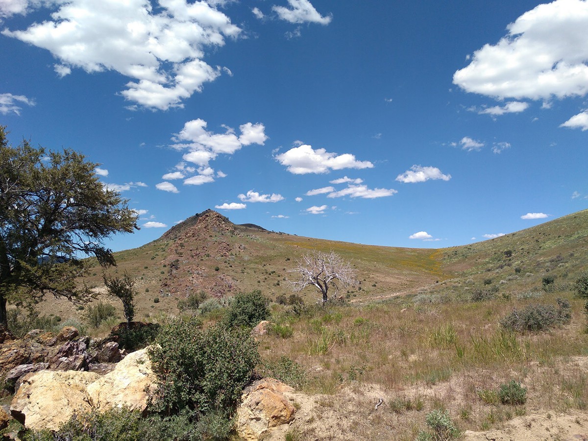
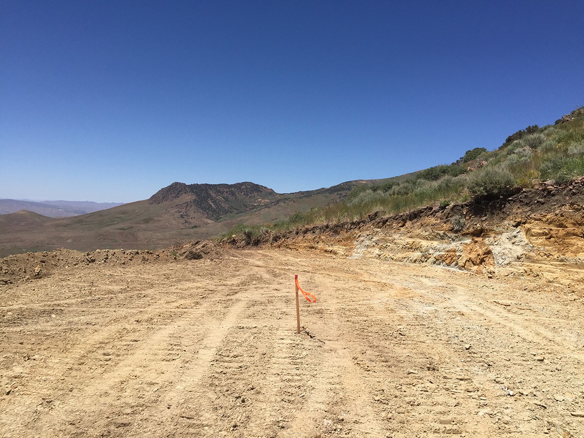
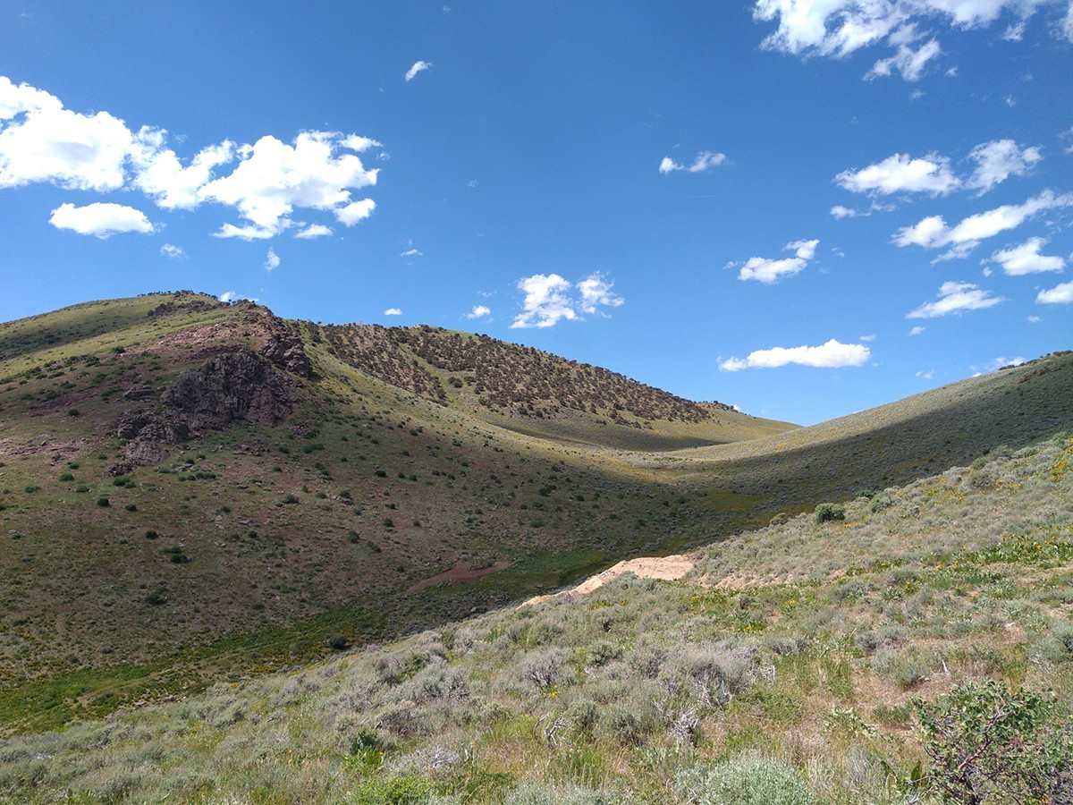
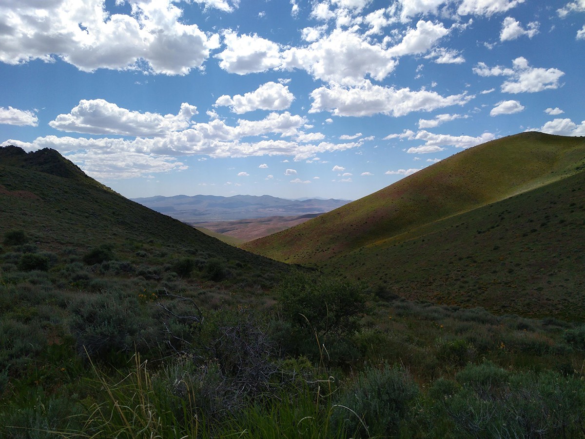
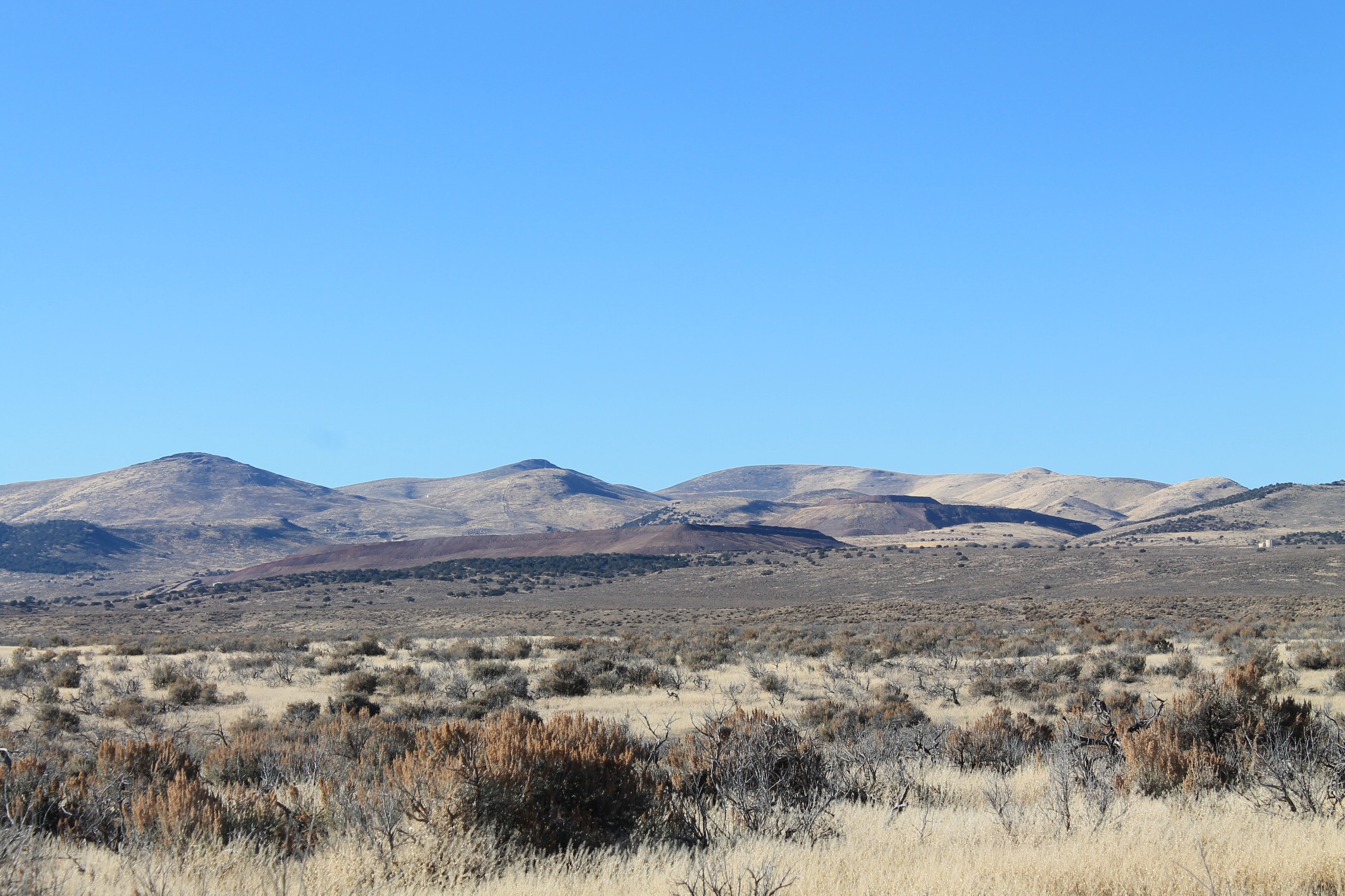
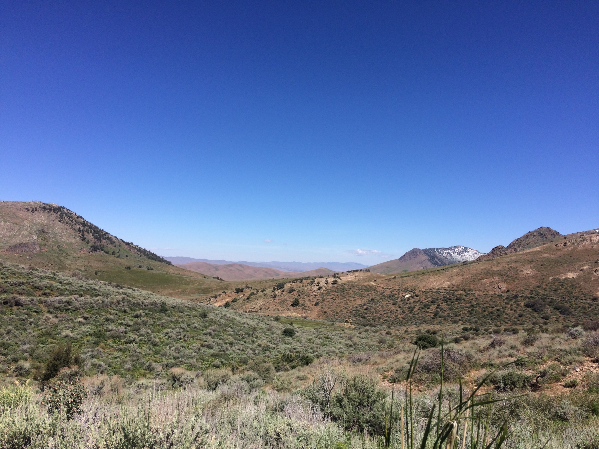
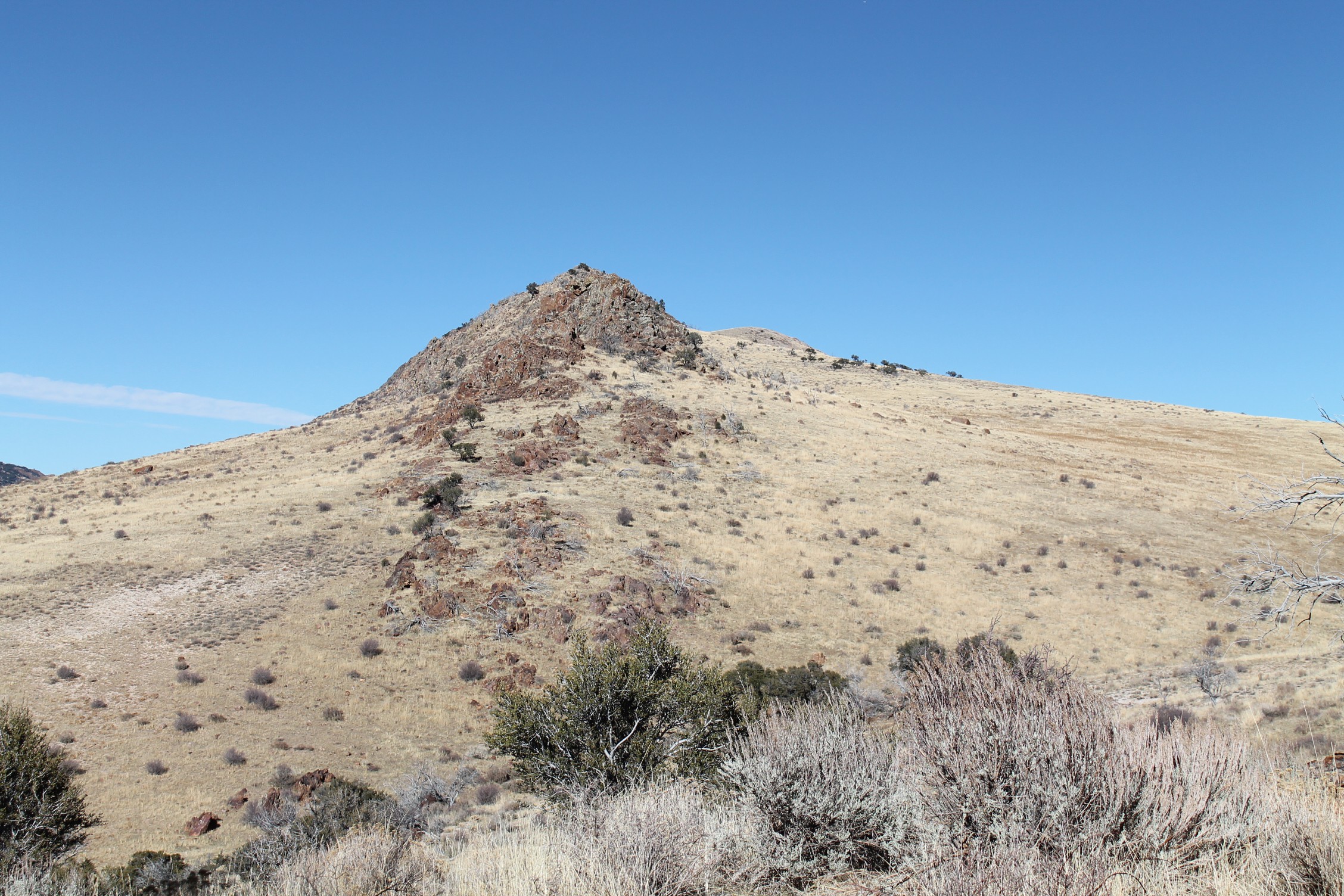
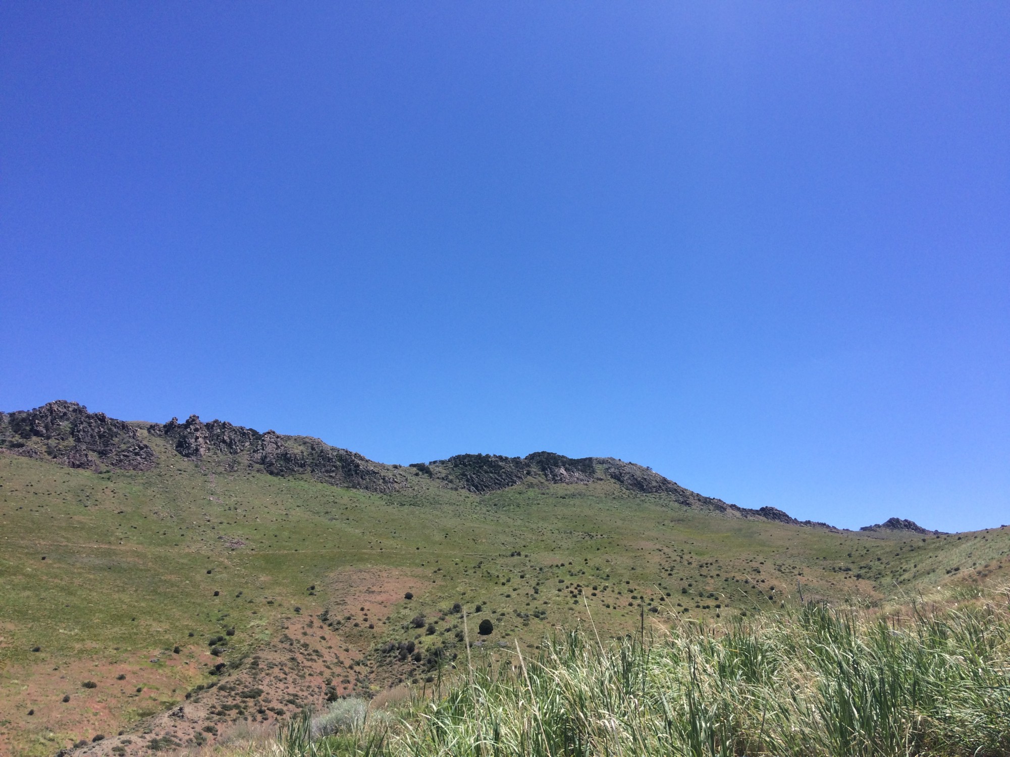
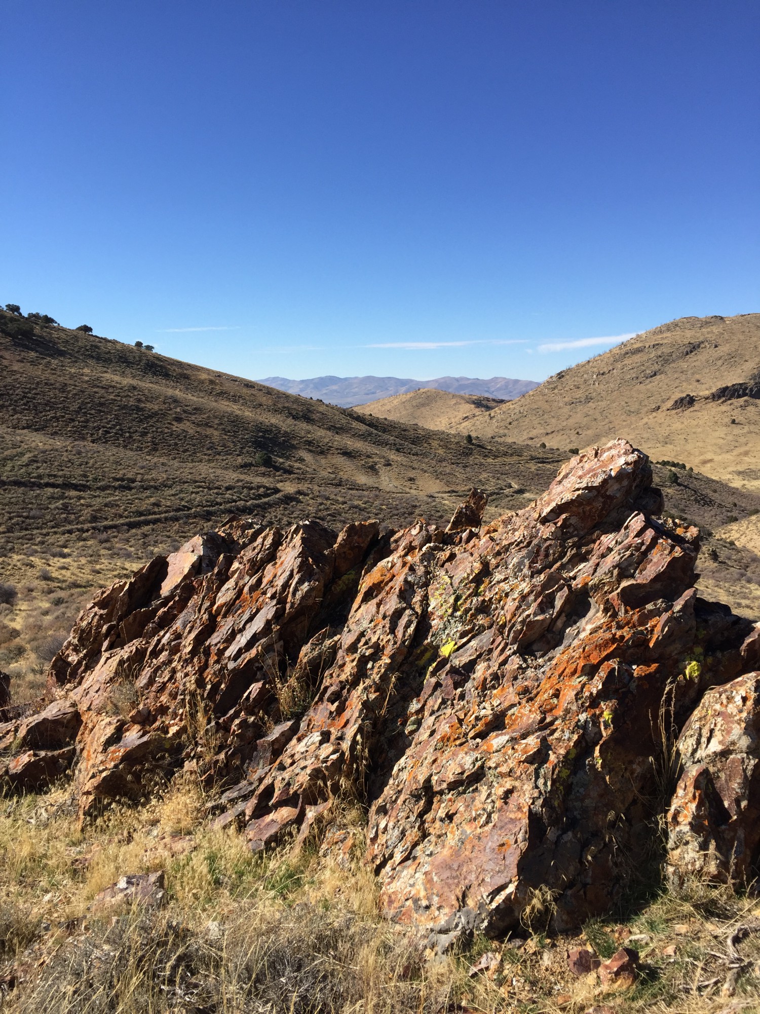
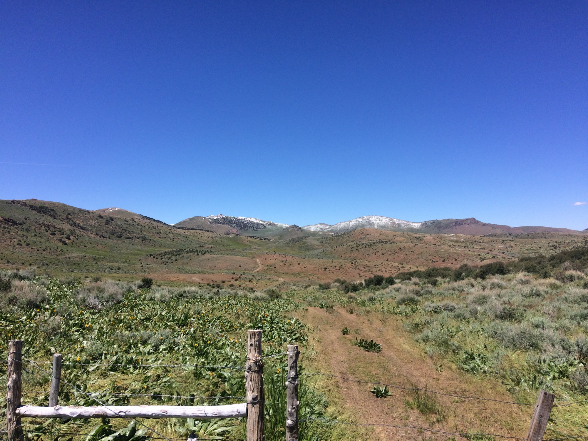
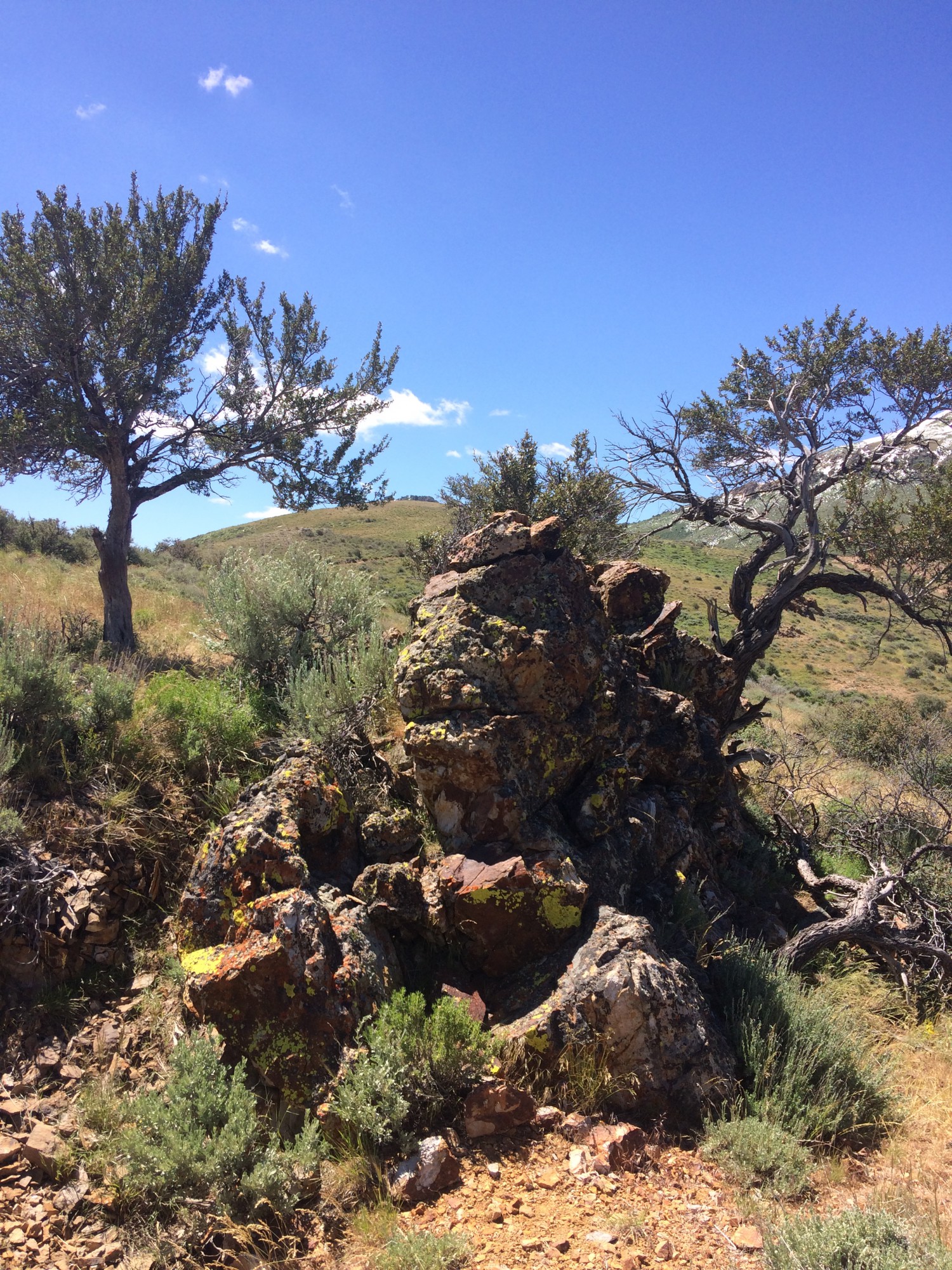
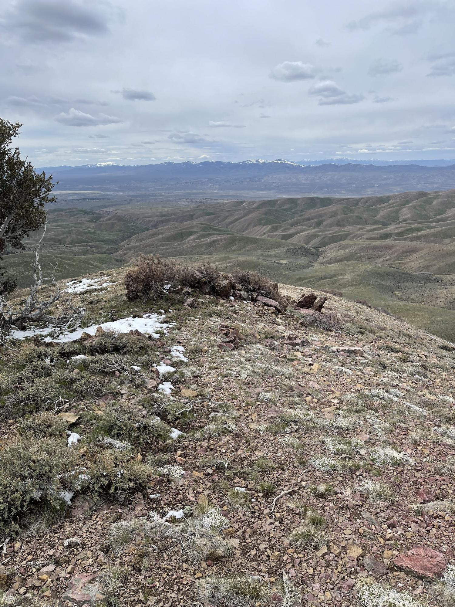
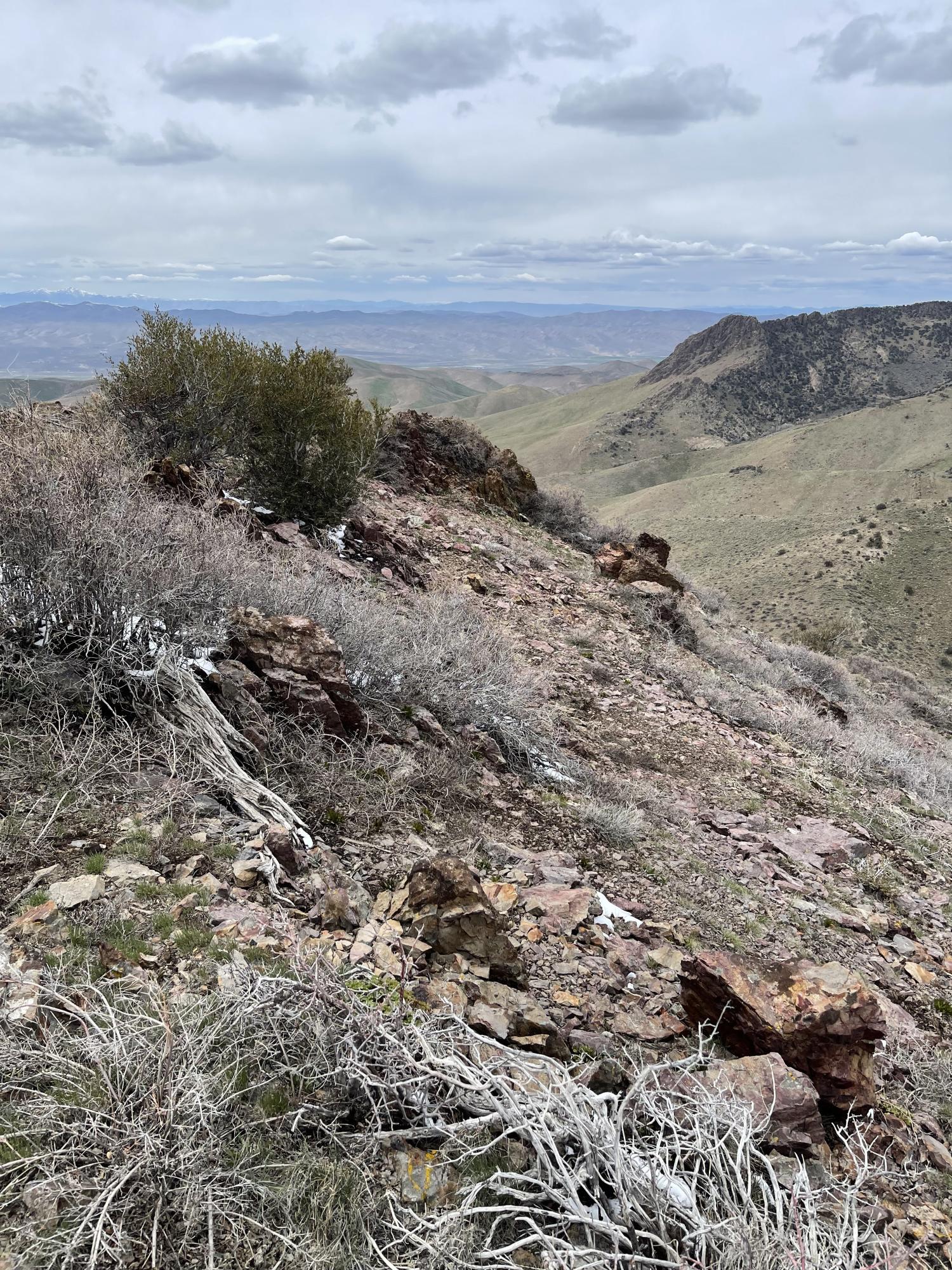
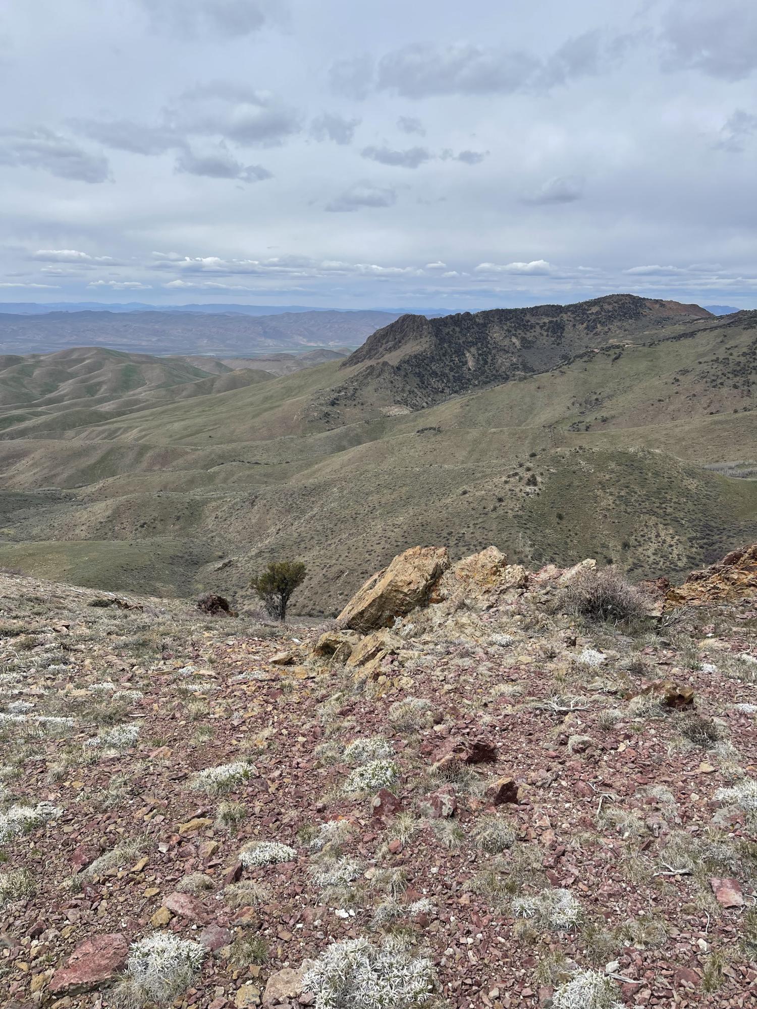
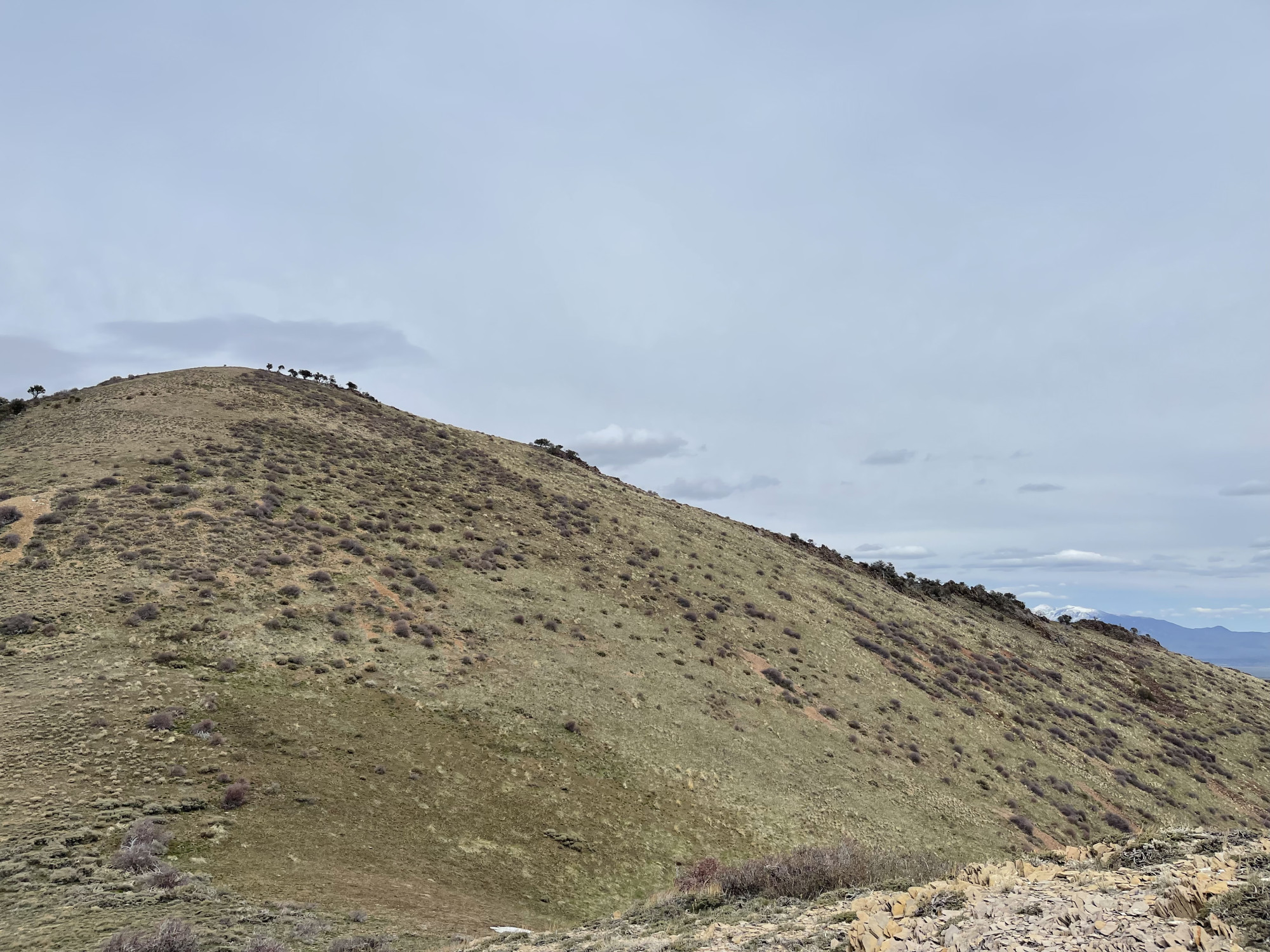
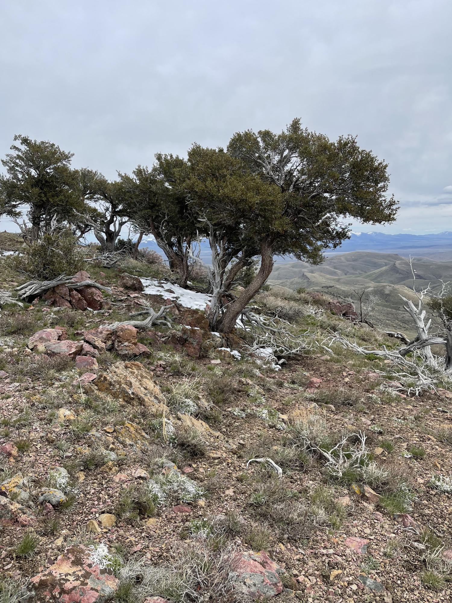
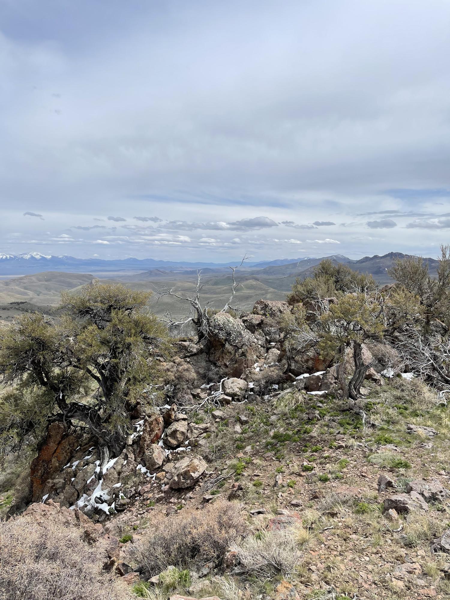
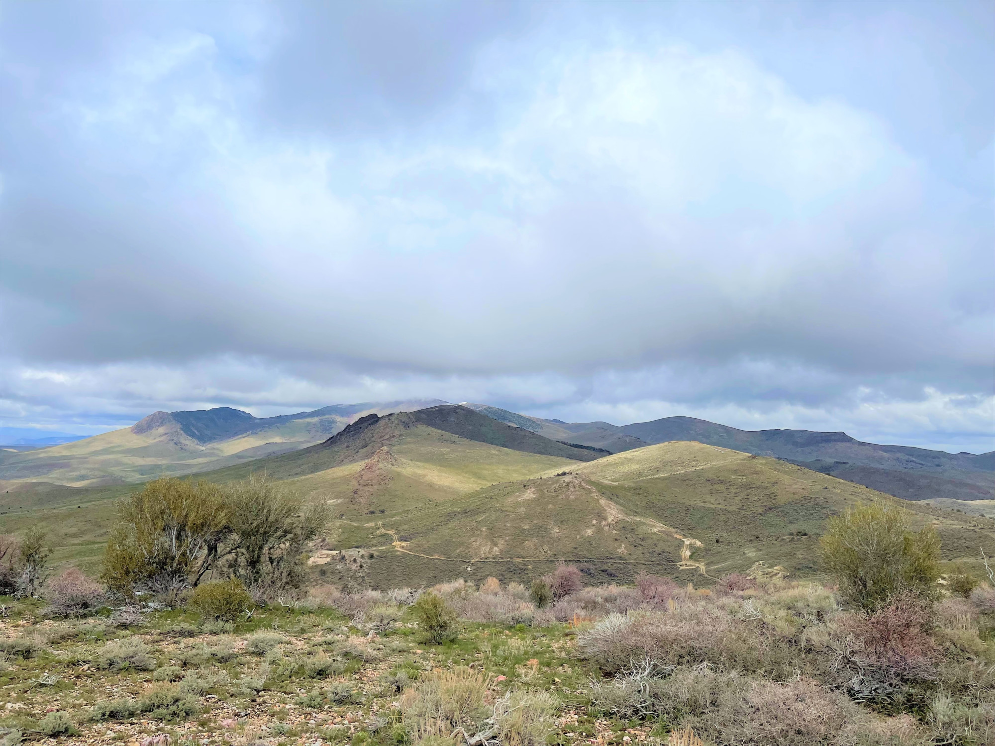
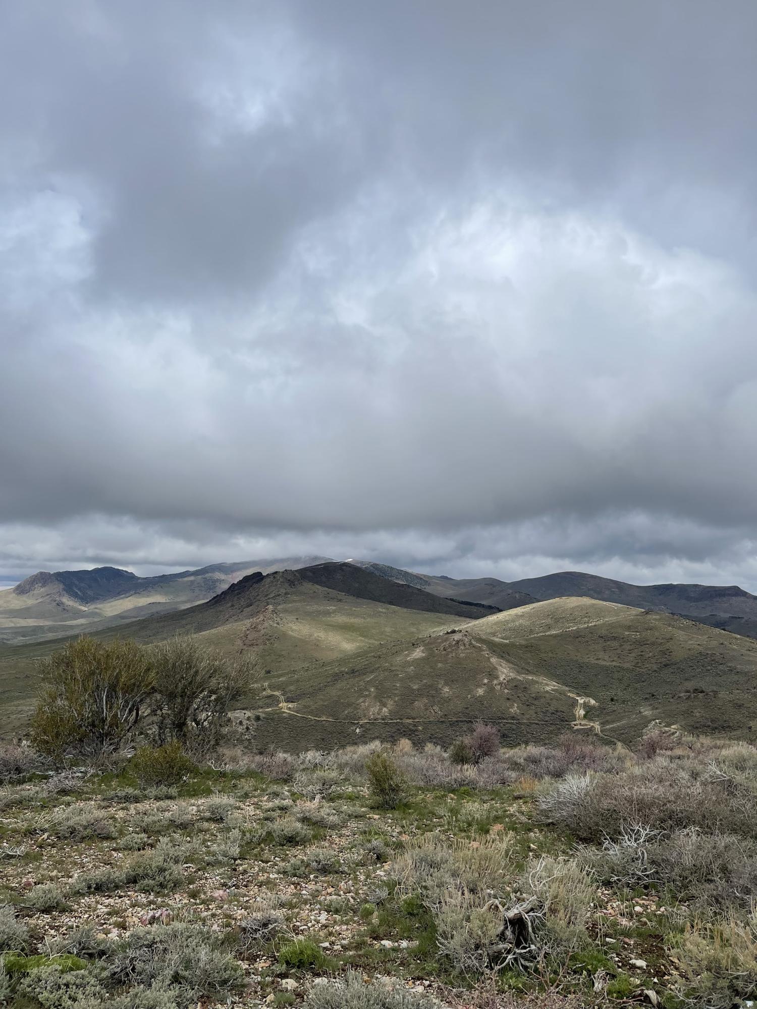
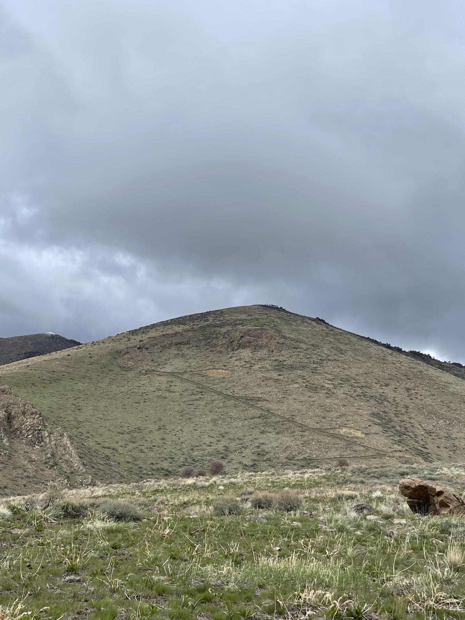
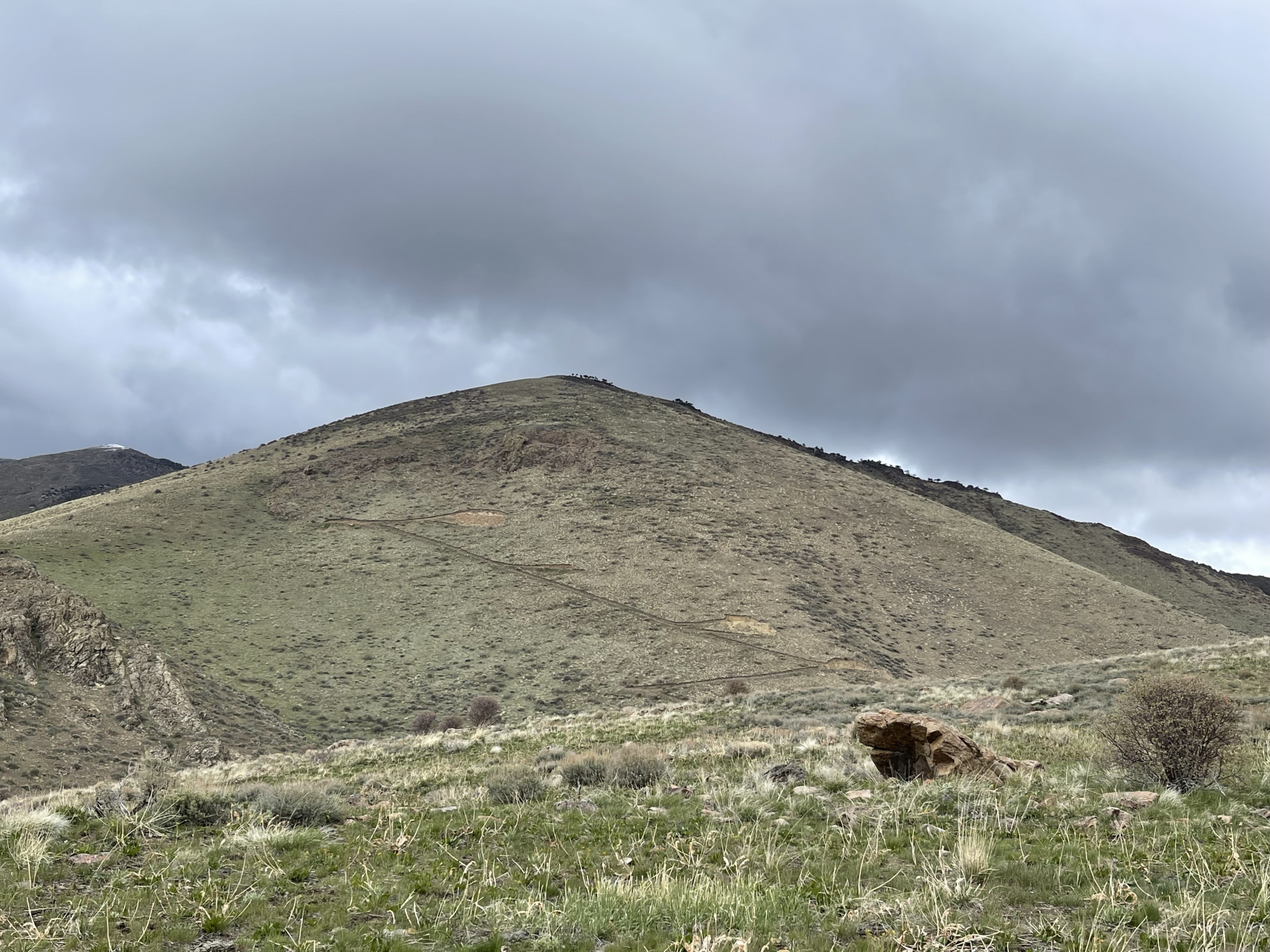
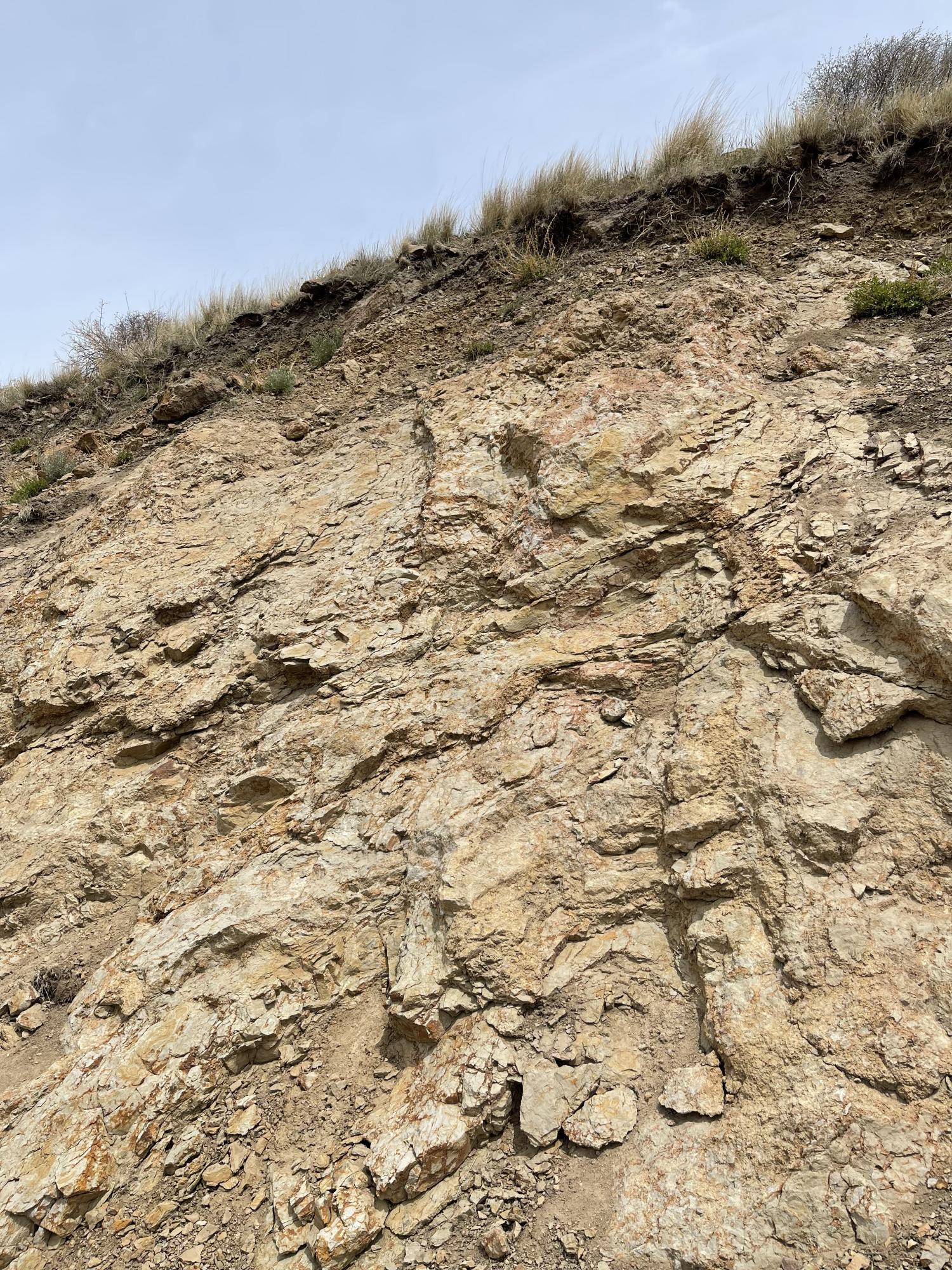
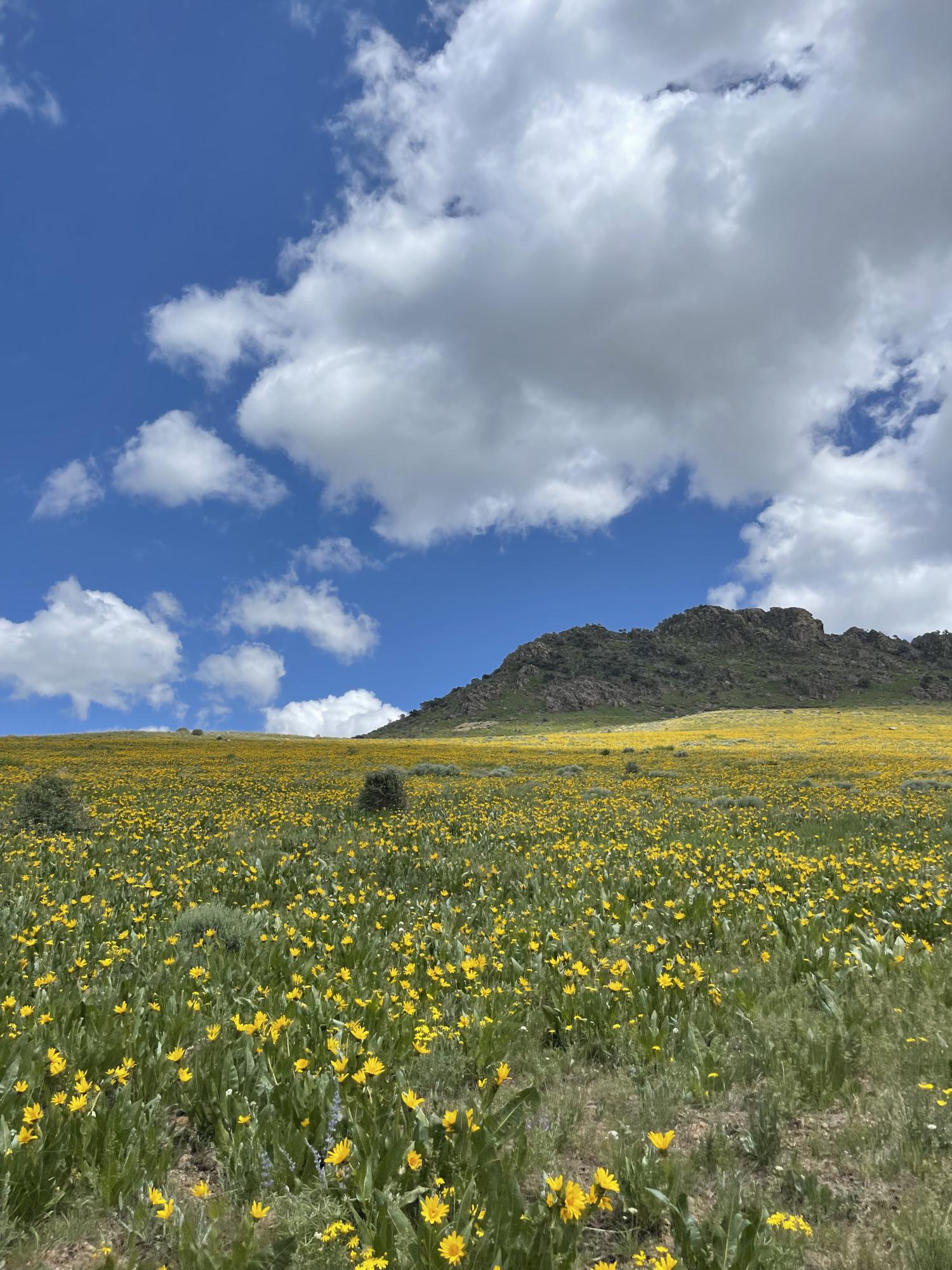
Projects - Photos
 |
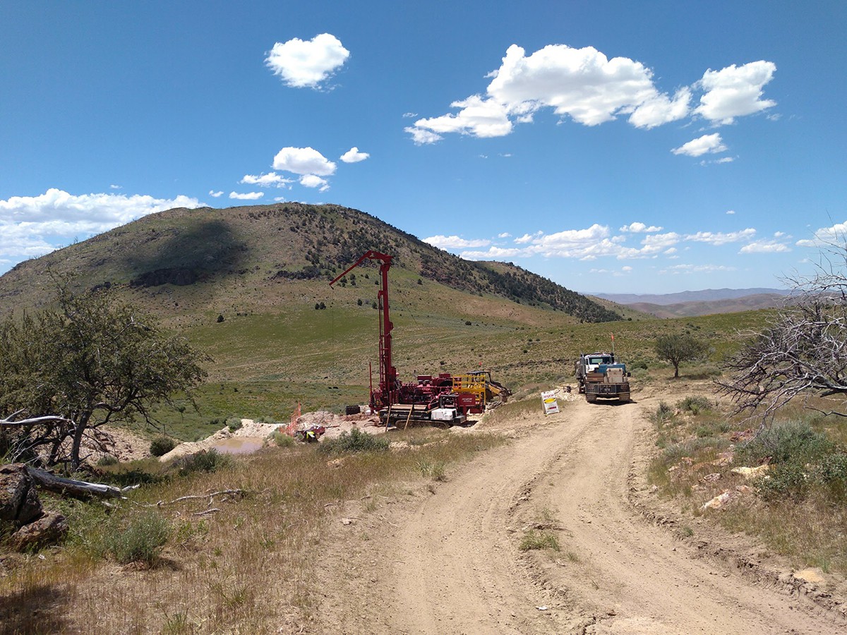
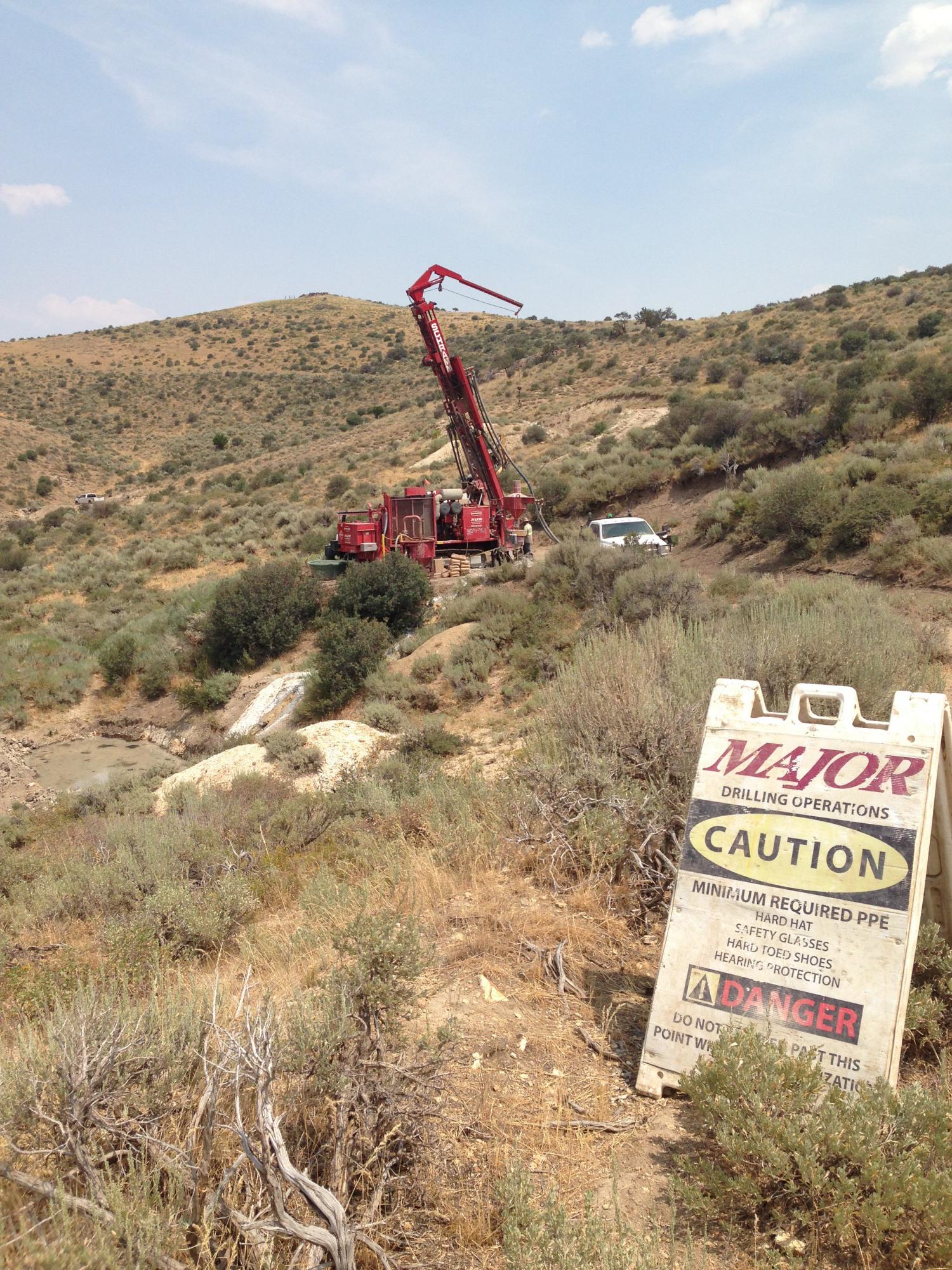
Drilling is targeting three distinct areas - Bowl Zone, Appaloosa Zone and the newly discovered Stallion Zone. Significant oxidized gold corridors have been defined at the Stallion, Appaloosa and Bowl Zones. All zones open for expansion in most directions. |
 |
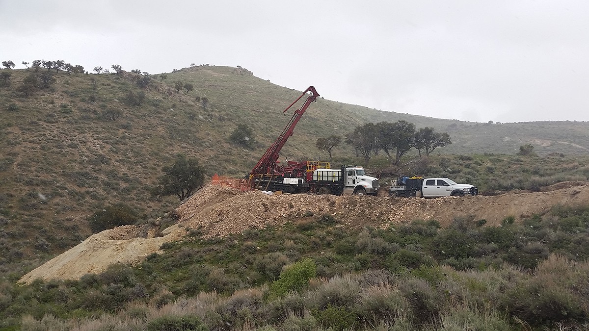
Drilling in the bowl zone. Significant oxidized corridors defined in the western portion of the Bowl Zone which remain open for significant expansion. Gold mineralization starting at surface and is associated with Penn – Perm clastic rocks and carbonates (Dark Star host). |
 |
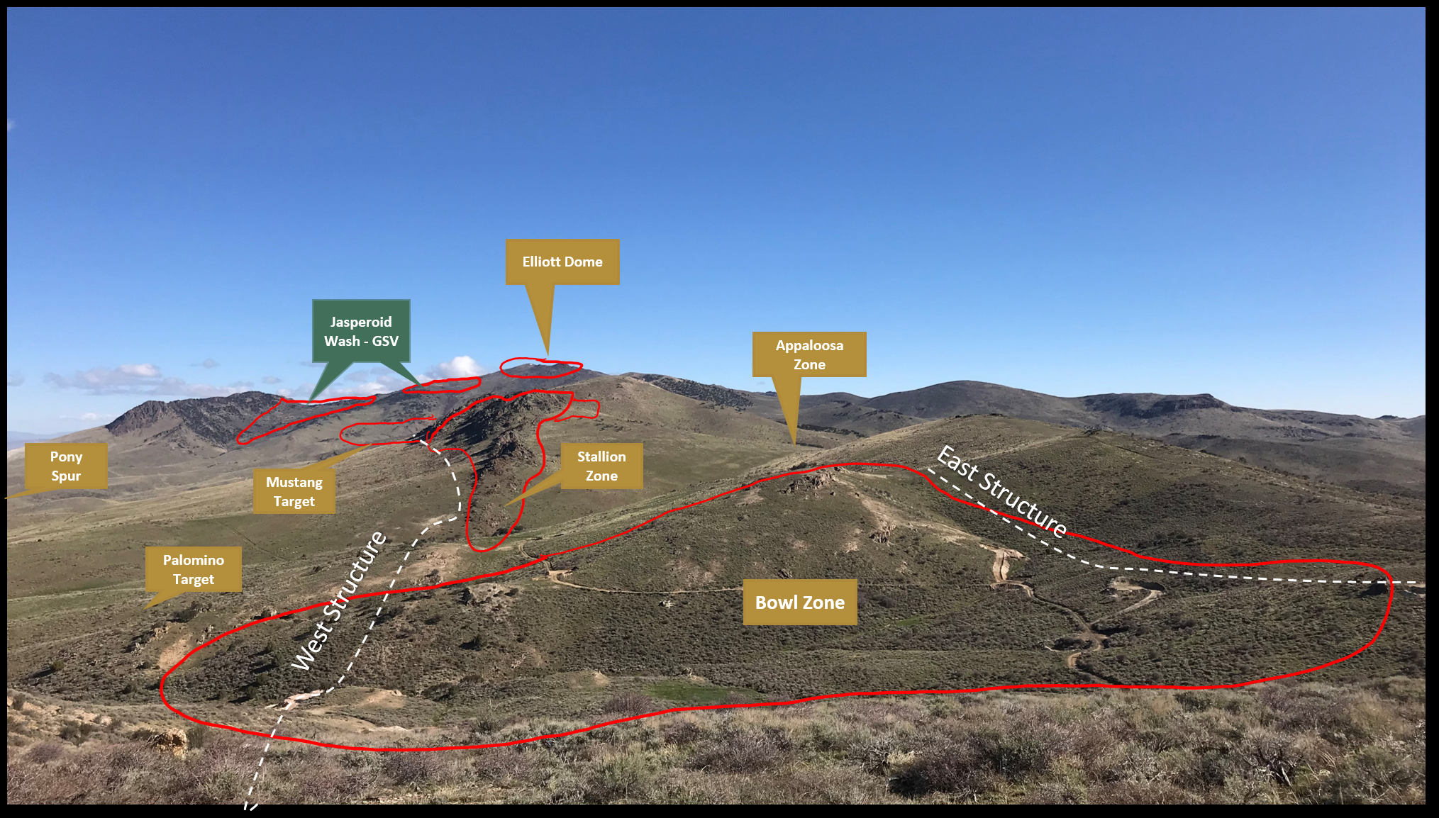
Contact Gold has identified multiple targets through soil & rock sampling, geologic mapping, geophysics and modelling of drill hole data: Stallion Target: ~2.3 km long oxidized gold target defined by drilling, hosts 63,000 inferred gold ounces at 0.27 g/t Au, and is wide open for expansion Mustang Target: ~1.5 km target defined by geology, geophysics and high gold in soil – never drilled, hosts 30,000 inferred gold ounces at 0.5 g/t Au and remains open for expansion. Appaloosa Zone: 1 km x 300 m oxide, defined by limited drilling and high gold in soil – open for expansion Bowl Zone: Hosts 340,000 inferred gold ounces at 0.63 g/t Au with clear opportunities for expansion. |
 |
Contact’s gravity survey defined the main corridor of anomalism that links into GSV’s Dark Star and Pinion deposits as well as Newmont’s Emigrant and Rain Mines. To date, the best gold intercepts at Pony have been discovered at the intersection between north-south and northwest-southeast structures defined by the gravity survey. |
 |
Contact’s gravity survey with interpreted structural corridors in relation to all drilling on the property. |
 |
Plan view of Pony Creek resource areas, showing pit oulines (red) and resource block model. |